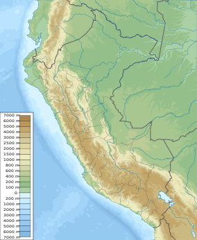
Pampas de Ayacucho Historic Sanctuary
You can help expand this article with text translated from the corresponding article in Spanish. (May 2020) Click [show] for important translation instructions.
|
| Pampas de Ayacucho Historic Sanctuary | |
|---|---|
| Santuario Histórico Pampas de Ayacucho | |
 Partial view of the historic sanctuary. | |
| Location | Ayacucho Region |
| Nearest city | Quinua |
| Coordinates | 13°2′34″S 74°7′51″W / 13.04278°S 74.13083°W |
| Area | 3 km2 (1.16 sq mi) |
| Established | 14 August 1980 |
| Governing body | SERNANP |
| Website | Santuario Histórico Pampas de Ayacucho |
The Pampas de Ayacucho Historic Sanctuary is located near the town of Quinua in the region of Ayacucho.[1] It has an area of 3 km2 and was established in 1980 to protect the site of the Battle of Ayacucho.[1]
References[edit]
- ^ a b "De La Pampa de Ayacucho - Servicio Nacional de Áreas Naturales Protegidas por el Estado". www.sernanp.gob.pe (in European Spanish). Retrieved 2017-05-21.
External links[edit]
 Media related to Pampa de Ayacucho Historical Sanctuary at Wikimedia Commons

