
User:Sengkang/Gallery/Tanglin Planning Area
< User:Sengkang | Gallery
This is a catalogue of photographs that I have taken of Singapore geographical features, infrastructure and buildings in my leisure time. All images shown may be used anywhere in Wikipedia. Do drop me a note at my talk page if you intend to use them for other purposes. Thanks!
Tanglin Planning Area[edit]
Bukit Timah Road[edit]


Holland Road[edit]
-
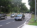 Holland Road
 -
 Cluny Road


Saint George's Church[edit]


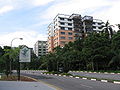
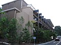
Napier Road[edit]
-
 Napier Road

Gleneagles Hospital and Medical Centre[edit]


Singapore Botanic Gardens[edit]
Bukit Timah Core[edit]
-

-
-
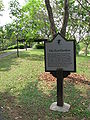
 Cluny Park Gate
 -
 Cluny Park Gate
 -
 The Garage


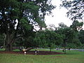
Bamboos[edit]


Eco-lake[edit]


Central Core[edit]
Evolution Garden[edit]


Symphony Lake[edit]


Tanglin Core[edit]
-

-

-

-

-

-
-
 Botany Centre


Swan Lake[edit]


Taman Serasi Food Garden[edit]


Zion Road[edit]
-
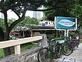 Zion Riverside Food Centre
