Nangana, Victoria
| Nangana Victoria | |
|---|---|
| Coordinates | 37°52′S 145°32′E / 37.867°S 145.533°E |
| Population | 54 (2021 census)[1] |
| Postcode(s) | 3781 |
| Location | |
| LGA(s) | Shire of Cardinia |
| State electorate(s) | Monbulk |
| Federal division(s) | La Trobe |
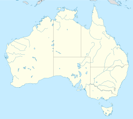
Nangana is a bounded rural locality 56 kilometres (35 mi) from Melbourne, in Victoria, Australia, located within the Shire of Cardinia local government area. Nangana recorded a population of 54 at the 2021 census.[1]
The town has no post office or official town centre. Like Mount Burnett, Nangana shares its postcode (3781) with Cockatoo.
History[edit]
In 1902 Post Offices named Crichton's and Nangana opened in the area. Nangana closed around 1910. Crichton's was renamed Nangana in 1918 and closed in 1964.[2]
References[edit]
- ^ a b Australian Bureau of Statistics (28 June 2022). "Nangana (Suburbs and Localities)". 2021 Census QuickStats. Retrieved 10 July 2022.
- ^ Phoenix Auctions History, Post Office List, retrieved 11 April 2021


