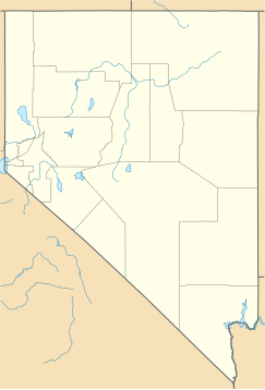
User:Mmcannis/sandbox/Central Nevada endorheic valleys & basins ver 1
A double listing of: Central Nevada endorheic valleys & basins, Major, and also Central Nevada endorheic valleys & basins, Minor, (endorheic landforms).
The "East" is bordered by: White River Valley discontinuous basins and the Meadow Valley Wash Watershed.
Possible exception landform-(non-contiguous)), eastern Nevada: Lake Valley (north section).
Some valleys and their Nevada locations[edit]
{{tlg|Geobox|
| name = Central Nevada endorheic
valleys & basins
(Major)
| category =
| image =
| image_size =
| image_caption =
| country = United States
| country_flag = 1
| state_flag = 1
| state = Nevada
| state1 =California
| parent = Great Basin
| part_type=Valleys,
flats, etc.
| part = Diamond-Monitor
Soda Spring Valleys
Gabbs
Goshute Valley
Hot Creek-Railroad
Ivanpah-Pahrump Valleys
Long Valley (Nevada)
Newark-Little Smoky
Kawich Valley
Long-Ruby
Monitor Valley
Sand Spring Valley-Tikaboo Valley
Railroad Valley
Antelope Valley (Elko-White Pine Counties)
Big Smoky Valley
Butte Valley (Nevada)
Clover Valley(Nevada)
Crescent Valley
Desert Valley (Lincoln County)-(Tikaboo)
Diamond Valley
Dixie Valley
Eldorado Valley-(Ivanpah-Pahrump W.)
Fish Lake Valley
Goshute Valley
Grass Valley (Nevada)
Ivanpah Valley-(Ivanpah-Pahrump W.)
Little Smoky Valley
Long Valley (Nevada)
Monitor Valley
Newark Valley
Pahrump Valley-{Ivanpah-Pahrump W.)
Railroad Valley
Railroad Valley
Ruby Valley
Sand Spring Valley
Smith Creek Valley
Spring Valley (Nevada)
Steptoe Valley
Stone Cabin Valley
Tikaboo Valley-Desert V.-(Tikaboo)
| border_type = Border
Great Basin
sub
regions
| border =N: Humboldt River Basin
NE: Great Salt Lake
S & SW: N Mojave-Mono
W: central Lahontan
| location =
| elevation_imperial =
| elevation_note =
| population =
| area_imperial =
| area_note=
| code_type=
| code =
| code_note=
| free_type =
| free =
| free1_type =
| free1 =
}}
{{Geobox}}
The Central Nevada Desert Basins subregion (USGS Huc 1606) is a contiguous set of 15 Great Basin watersheds that drain into Nevada. The perimeter drainage divide of the subregion includes a serpentine section of the Great Basin Divide near the Utah state line (triple point with Great Salt Lake & Lower Colorado-Lake Mead subregions) to the California state line (Piute Watershed).
See also[edit]
Landform locations[edit]
Some example valley locations.

