Trier-Föhren Airfield: Difference between revisions
Appearance
Content deleted Content added
←Created page with '{{Infobox Airport | name = Trier-Föhren Airport | nativename = | nativename-a = | nativename-r = | image = | image-width = | caption = ...' |
(No difference)
|
Revision as of 17:59, 6 October 2009
Trier-Föhren Airport | |||||||||||
|---|---|---|---|---|---|---|---|---|---|---|---|
| Summary | |||||||||||
| Airport type | Civil | ||||||||||
| Location | Trier, Germany | ||||||||||
| Elevation AMSL | 665 ft / 203 m | ||||||||||
| Coordinates | 49°51′50″N 006°47′15″E / 49.86389°N 6.78750°E | ||||||||||
 | |||||||||||
| Runways | |||||||||||
| |||||||||||
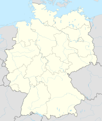
Location of Trier-Föhren Airport, Germany
Trier-Föhren Airport (IATA: ZQE, ICAO: EDRT). is an airport in Germany, located about 9 miles northeast of Treir (Rheinland-Pfalz); approximately 340 miles southwest of Berlin.
The airport supports general aviation, with no commercial airline service available. Charter services and a full selection of amenities are available.
The current airport is a recent facility, opened in 1977, built on the former historic Trier Airfield built in the early 20th Century.
History
References
External links
- Airport information for EDRT at Great Circle Mapper.
- Template:WAD


