Shatin, Armenia
Appearance
Shatin
Շատին | |
|---|---|
 | |
| Coordinates: 39°50′00″N 45°18′06″E / 39.83333°N 45.30167°E | |
| Country | Armenia |
| Province | Vayots Dzor |
| Municipality | Yeghegis |
| Population | |
• Total | 1,736 |
| Time zone | UTC+4 (AMT) |
| Shatin, Armenia at GEOnet Names Server | |
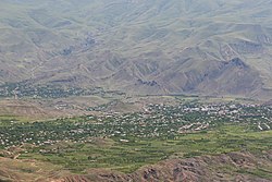
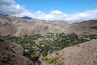
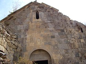
Shatin (Armenian: Շատին) is a village and the centre of the Yeghegis Municipality of the Vayots Dzor Province in Armenia. The village contains several archeological sites from various periods in Armenian history.
Toponymy
[edit]The village was previously known as Shatik, Hesan Kand, Gasankend and Hasankand.
Nature
[edit]The village is home to the only mountain goat observation point in Armenia. The observation point was constructed with the help of the Norwegian and Armenian governments, the World Wildlife Fund and Safari organisations.
Gallery
[edit]-
A view of the village
-
Shativank
-
Scenery around Shatin
-
Shativank interior
-
A view of the village
-
Shativank
References
[edit]External links
[edit]Wikimedia Commons has media related to Shatin.


