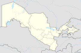
Muruntau
Appearance
Muruntau | |
|---|---|
urban-type settlement | |
| Coordinates: 41°31′36″N 65°35′54″E / 41.52667°N 65.59833°E | |
| Country | |
| Region | Navoiy Region |
| City | Zarafshon |
| Urban-type settlement | 1976 |
| Population (2002) | |
• Total | 4,320 |
| Time zone | UTC+5 (UZT) |
Muruntau (Uzbek: Muruntov/Мурунтов, Russian: Мурунтау) is an urban-type settlement in the Navoiy Region, Uzbekistan. Administratively, it is part of the city Zarafshon.[1] The town's population in 1989 was 9193 people.[2]
Economy
[edit]Near Muruntau in the Kyzylkum, also spelled Kyzyl Kum or Qizilqum, is the largest gold mine in the world the open pit Muruntau mine which is part of the Zarafshan gold complex and was operated by the Navoi Mining and Metallurgy Combinat (NMMC) though its Central Mining Administration (CMA) since 1964.[3]
References
[edit]- ^ "Classification system of territorial units of the Republic of Uzbekistan" (in Uzbek and Russian). The State Committee of the Republic of Uzbekistan on statistics. July 2020.
- ^ Population census-1989
- ^ Critics Say Uzbekistan's Crackdown On Radicalism May Fuel the Fervor


