
File:Volupai-Talasea US Marines operations map March 1944 (USMC-II-30).jpg
Size of this preview: 790 × 600 pixels. Other resolutions: 316 × 240 pixels | 632 × 480 pixels | 1,012 × 768 pixels | 1,280 × 972 pixels | 1,500 × 1,139 pixels.
Original file (1,500 × 1,139 pixels, file size: 354 KB, MIME type: image/jpeg)
| This is a file from the Wikimedia Commons. Information from its description page there is shown below. Commons is a freely licensed media file repository. You can help. |
| Description |
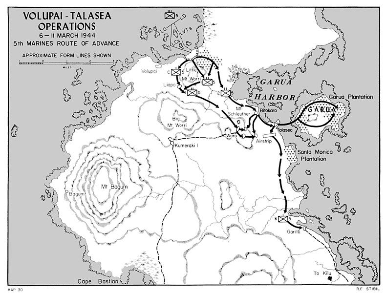
English: Map depicting US Marine operations around Volupai and Talasea, on the island of New Britain, March 1944 |
|||
| Date | ||||
| Source | Shaw, Henry I. and Douglas T. Kane (1963) Volume II: Isolation of Rabaul. Archived from the original on 20 November 2006. Retrieved on 18 October 2006. | |||
| Author | R.F. Stibil | |||
| Permission (Reusing this file) |
|

File history
Click on a date/time to view the file as it appeared at that time.
| Date/Time | Thumbnail | Dimensions | User | Comment | |
|---|---|---|---|---|---|
| current | 12:37, 28 March 2016 |  | 1,500 × 1,139 (354 KB) | AustralianRupert | {{Information |Description ={{en|1=Map depicting US Marine operations around Volupai and Talasea, on the island of New Britain, March 1944}} |Source ={{cite book | author = Shaw, Henry I. and Douglas T. Kane | year = 1963 | month = | url=ht... |
File usage
The following pages on the English Wikipedia use this file (pages on other projects are not listed):
Global file usage
The following other wikis use this file:
- Usage on de.wikipedia.org
- Usage on es.wikipedia.org
- Usage on eu.wikipedia.org
- Usage on hu.wikipedia.org
- Usage on id.wikipedia.org
- Usage on ru.wikipedia.org
- Usage on www.wikidata.org