
File:Togdheer location relief map.svg
Size of this PNG preview of this SVG file: 521 × 599 pixels. Other resolutions: 209 × 240 pixels | 417 × 480 pixels | 668 × 768 pixels | 891 × 1,024 pixels | 1,781 × 2,048 pixels | 528 × 607 pixels.
Original file (SVG file, nominally 528 × 607 pixels, file size: 456 KB)
| This is a file from the Wikimedia Commons. Information from its description page there is shown below. Commons is a freely licensed media file repository. You can help. |
Summary
| Description |
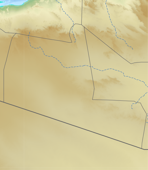
English: relief region in Somaliland/Somalia 日本語: ソマリア/ソマリランドのトゲーア地域のLocation map用地図
|
| Date | |
| Source | See below |
| Author | See below (Assemblied by User:Freetrashbox) |
Sources
- Global Relief: ETOPO Global Relief Model / NOAA (2022-10-04). Ice surface elevation geotiff. Retrieved on 2022-12-13. / ETOPO_2022_v1_15s_N00W030_surface.tif, ETOPO_2022_v1_15s_N15E030_surface.tif
- International border: GSHHG data version 2.3.7 / NOAA (2017-06-15). Shoreline / Coastline Resources. Retrieved on 2022-12-13. / gshhg-shp-2.3.7\WDBII_shp\h\WDBII_border_h_L1.shp
- Intermittent rivers: GSHHG data version 2.3.7 / ibid. / gshhg-shp-2.3.7\WDBII_shp\h\WDBII_river_h_L08.shp
- Regional border of Somaliland: SOMALILAND VULNERABILITY INDEX MAP / Ministry of Planning and National Development of Somaliland. SOMALILAND VULNERABILITY INDEX MAP. Retrieved on 2022-12-13.
Design
- Global Relief: Wikipedia:Graphics Lab/Resources/GIS sources and palettes
- International border: R100 G100 B100, 2pts.
- Intermittent rivers: R72 G123 B182, 1pt, dash 5 pts, blank 3pts.
- Regional border of Somaliland: R100 G100 B100, 1pt.
Notes
- The boundaries marked on this map are the borders or region boundaries around this area. Because Somaliland claims the western border of Bari region as the border between Somaliland and Somalia, there is some dispute as to whether this line is a border or a state line.
Licensing
This image is in the public domain because it contains materials that originally came from the U.S. National Oceanic and Atmospheric Administration, taken or made as part of an employee's official duties.
|
File history
Click on a date/time to view the file as it appeared at that time.
| Date/Time | Thumbnail | Dimensions | User | Comment | |
|---|---|---|---|---|---|
| current | 22:52, 23 December 2022 |  | 528 × 607 (456 KB) | Freetrashbox | Uploaded a work by Assemblied by User:Freetrashbox from ETOPO Global Relief Model with UploadWizard |
File usage
The following pages on the English Wikipedia use this file (pages on other projects are not listed):
Global file usage
The following other wikis use this file:
- Usage on fr.wikipedia.org
- Usage on si.wikipedia.org
- Usage on uz.wikipedia.org