
File:St Algar's Farm - geograph.org.uk - 480347.jpg
No higher resolution available.
St_Algar's_Farm_-_geograph.org.uk_-_480347.jpg (640 × 480 pixels, file size: 176 KB, MIME type: image/jpeg)
| This is a file from the Wikimedia Commons. Information from its description page there is shown below. Commons is a freely licensed media file repository. You can help. |
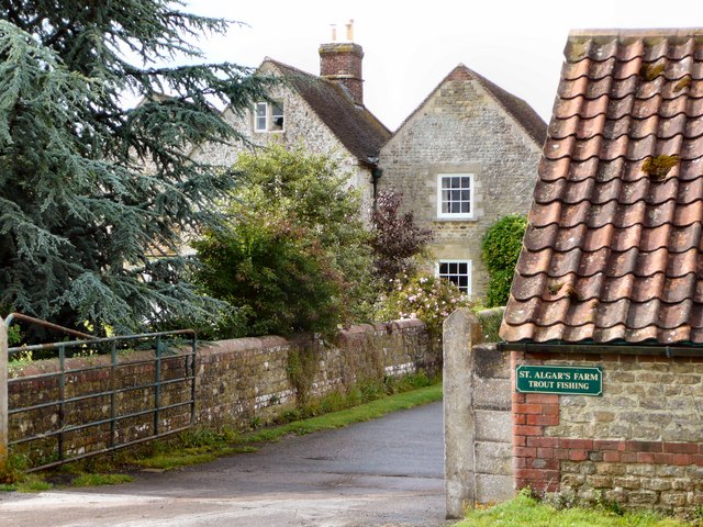
This is a photo of listed building number 1058902. |
Summary
| Description |
English: St Algar's Farm This farm is just within the square and the only significant habitation in ST7841. It illustrates how the Ordnance Survey Grid imposes itself arbitrarily on human and geophysical bounderies, albeit a brilliant way to organise the geographs. |
| Date | |
| Source | From geograph.org.uk |
| Author | Phil Taylor |
| Attribution (required by the license) | Phil Taylor / St Algar's Farm / |
| Camera location | | View this and other nearby images on: OpenStreetMap |
|---|
| Object location | | View this and other nearby images on: OpenStreetMap |
|---|
Licensing

|
This image was taken from the Geograph project collection. See this photograph's page on the Geograph website for the photographer's contact details. The copyright on this image is owned by Phil Taylor and is licensed for reuse under the Creative Commons Attribution-ShareAlike 2.0 license.
|
This file is licensed under the Creative Commons Attribution-Share Alike 2.0 Generic license.
Attribution: Phil Taylor
- You are free:
- to share – to copy, distribute and transmit the work
- to remix – to adapt the work
- Under the following conditions:
- attribution – You must give appropriate credit, provide a link to the license, and indicate if changes were made. You may do so in any reasonable manner, but not in any way that suggests the licensor endorses you or your use.
- share alike – If you remix, transform, or build upon the material, you must distribute your contributions under the same or compatible license as the original.
File history
Click on a date/time to view the file as it appeared at that time.
| Date/Time | Thumbnail | Dimensions | User | Comment | |
|---|---|---|---|---|---|
| current | 02:41, 5 February 2011 |  | 640 × 480 (176 KB) | GeographBot | == {{int:filedesc}} == {{Information |description={{en|1=St Algar's Farm This farm is just within the square and the only significant habitation in ST7841. It illustrates how the Ordnance Survey Grid imposes itself arbitrarily on human and geophysical bou |
File usage
The following pages on the English Wikipedia use this file (pages on other projects are not listed):
Global file usage
The following other wikis use this file:
- Usage on www.wikidata.org