
File:Site of Shipley Gate Station - geograph.org.uk - 550887.jpg
No higher resolution available.
Site_of_Shipley_Gate_Station_-_geograph.org.uk_-_550887.jpg (640 × 428 pixels, file size: 122 KB, MIME type: image/jpeg)
| This is a file from the Wikimedia Commons. Information from its description page there is shown below. Commons is a freely licensed media file repository. You can help. |
Summary
| Description |
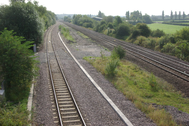
English: Site of Shipley Gate Station Although the Erewash Valley line, connecting Nottingham and Chesterfield, is still an important passenger and freight route, the intermediate passenger stations were closed in 1967 (two have since reopened). Shipley Gate, however, in this rather isolated spot, was a much earlier casualty, losing its service in August 1948. |
| Date | |
| Source | From geograph.org.uk |
| Author | Stephen McKay |
| Attribution (required by the license) | Stephen McKay / Site of Shipley Gate Station / |
| Camera location | | View this and other nearby images on: OpenStreetMap |
|---|
| Object location | | View this and other nearby images on: OpenStreetMap |
|---|
Licensing

|
This image was taken from the Geograph project collection. See this photograph's page on the Geograph website for the photographer's contact details. The copyright on this image is owned by Stephen McKay and is licensed for reuse under the Creative Commons Attribution-ShareAlike 2.0 license.
|
This file is licensed under the Creative Commons Attribution-Share Alike 2.0 Generic license.
Attribution: Stephen McKay
- You are free:
- to share – to copy, distribute and transmit the work
- to remix – to adapt the work
- Under the following conditions:
- attribution – You must give appropriate credit, provide a link to the license, and indicate if changes were made. You may do so in any reasonable manner, but not in any way that suggests the licensor endorses you or your use.
- share alike – If you remix, transform, or build upon the material, you must distribute your contributions under the same or compatible license as the original.
File history
Click on a date/time to view the file as it appeared at that time.
| Date/Time | Thumbnail | Dimensions | User | Comment | |
|---|---|---|---|---|---|
| current | 04:07, 6 February 2011 |  | 640 × 428 (122 KB) | GeographBot | == {{int:filedesc}} == {{Information |description={{en|1=Site of Shipley Gate Station Although the Erewash Valley line, connecting Nottingham and Chesterfield, is still an important passenger and freight route, the intermediate passenger stations were clo |
File usage
The following pages on the English Wikipedia use this file (pages on other projects are not listed):
Global file usage
The following other wikis use this file:
- Usage on www.wikidata.org