
File:Northwestern Syria in Atlas histórico de Tierra Santa.png
No higher resolution available.
Northwestern_Syria_in_Atlas_histórico_de_Tierra_Santa.png (471 × 539 pixels, file size: 166 KB, MIME type: image/png)
| This is a file from the Wikimedia Commons. Information from its description page there is shown below. Commons is a freely licensed media file repository. You can help. |
Summary
| Description |
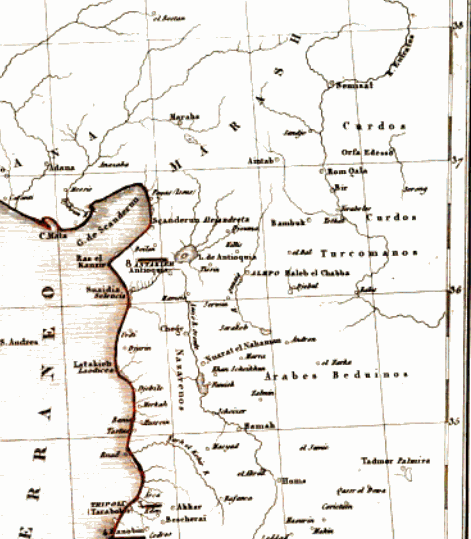
English: Map taken from Atlas histórico de Tierra Santa, cropped to show Northwestern Syria |
| Date | |
| Source | https://www.google.com/books/edition/Atlas_hist%C3%B3rico_de_Tierra_Santa/Emb30bShgVgC?hl=en&gbpv=1&pg=PA36&printsec=frontcover |
| Author | A. Houzé |
Licensing
|
This work is in the public domain in its country of origin and other countries and areas where the copyright term is the author's life plus 70 years or fewer. This work is in the public domain in the United States because it was published (or registered with the U.S. Copyright Office) before January 1, 1929. | |
| This file has been identified as being free of known restrictions under copyright law, including all related and neighboring rights. | |
File history
Click on a date/time to view the file as it appeared at that time.
| Date/Time | Thumbnail | Dimensions | User | Comment | |
|---|---|---|---|---|---|
| current | 16:32, 3 December 2022 |  | 471 × 539 (166 KB) | Aintabli | Uploaded a work by A. Houzé from https://www.google.com/books/edition/Atlas_hist%C3%B3rico_de_Tierra_Santa/Emb30bShgVgC?hl=en&gbpv=1&pg=PA36&printsec=frontcover with UploadWizard |
File usage
The following pages on the English Wikipedia use this file (pages on other projects are not listed):