
File:North Truro Map.png
Size of this preview: 726 × 599 pixels. Other resolutions: 291 × 240 pixels | 582 × 480 pixels | 751 × 620 pixels.
Original file (751 × 620 pixels, file size: 147 KB, MIME type: image/png)
| This is a file from the Wikimedia Commons. Information from its description page there is shown below. Commons is a freely licensed media file repository. You can help. |
Summary
| Description |
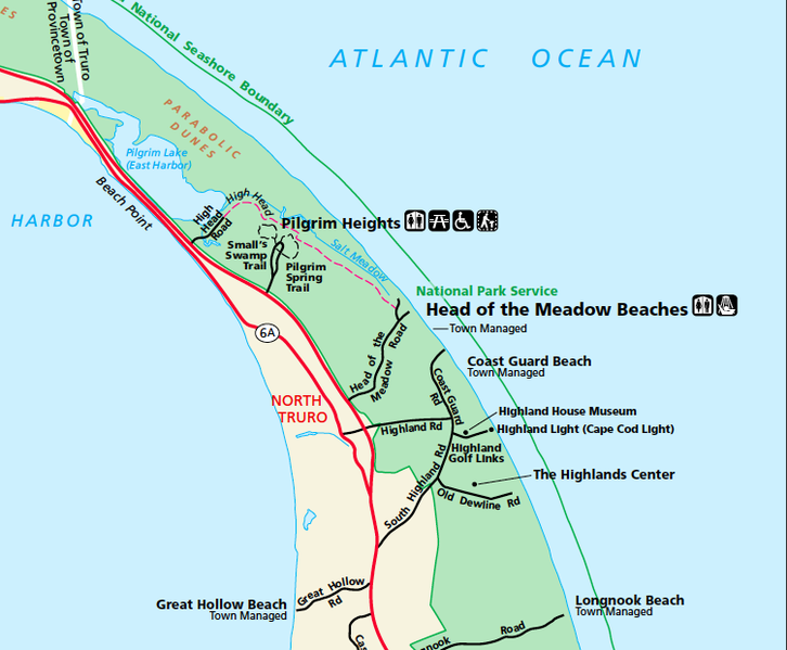
English: North Truro, Massachusetts |
| Source | Cropped portion of NPS map of Cape Cod National Seashore showing North Truro, from [1] |
| Author | United States National Park Service |
Licensing
| This image or media file contains material based on a work of a National Park Service employee, created as part of that person's official duties. As a work of the U.S. federal government, such work is in the public domain in the United States. See the NPS website and NPS copyright policy for more information. |
File history
Click on a date/time to view the file as it appeared at that time.
| Date/Time | Thumbnail | Dimensions | User | Comment | |
|---|---|---|---|---|---|
| current | 05:25, 15 November 2011 |  | 751 × 620 (147 KB) | Seduisant | == Summary == Author: United States National Park Service Source: Cropped portion of NPS map of Cape Cod National Seashore showing North Truro, from [http://www.nps.gov/caco/planyourvisit/upload/CACOmapweb.pdf] == Licensing: == {{PD-USGov-NPS}} |
File usage
The following pages on the English Wikipedia use this file (pages on other projects are not listed):