
File:Nor'easter 1969-12-27 weather map.jpg
No higher resolution available.
Nor'easter_1969-12-27_weather_map.jpg (520 × 413 pixels, file size: 42 KB, MIME type: image/jpeg)
| This is a file from the Wikimedia Commons. Information from its description page there is shown below. Commons is a freely licensed media file repository. You can help. |
Summary
| Description | ||||
| Date | ||||
| Source | NOAA Central Library Data Imaging Project | |||
| Author | NOAA Central Library, Silver Spring, Maryland | |||
| Permission (Reusing this file) |
|
File history
Click on a date/time to view the file as it appeared at that time.
| Date/Time | Thumbnail | Dimensions | User | Comment | |
|---|---|---|---|---|---|
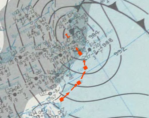
| current | 20:49, 12 March 2011 |  | 520 × 413 (42 KB) | Juliancolton | {{Information |Description ={{en|1=Weather map of the late December 1969 nor'easter in New England, USA. }} |Source =http://docs.lib.noaa.gov/rescue/dwm/1969/19691222-19691228.djvu |Author =[http://docs.lib.noaa.gov/rescue/dwm/data_resc |
File usage
The following pages on the English Wikipedia use this file (pages on other projects are not listed):
Global file usage
The following other wikis use this file:
- Usage on zh.wikipedia.org