
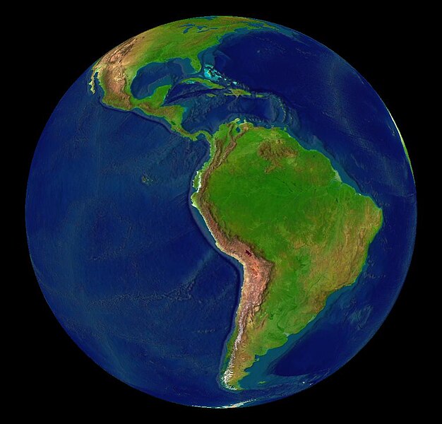
File:Latin America terrain.jpg
Size of this preview: 626 × 600 pixels. Other resolutions: 251 × 240 pixels | 501 × 480 pixels | 1,002 × 960 pixels.
Original file (1,002 × 960 pixels, file size: 76 KB, MIME type: image/jpeg)
| This is a file from the Wikimedia Commons. Information from its description page there is shown below. Commons is a freely licensed media file repository. You can help. |
| This image is in the public domain because it is a screenshot from NASA’s globe software World Wind using a public domain layer, such as Blue Marble, MODIS, Landsat, SRTM, USGS or GLOBE.
|
 |
File history
Click on a date/time to view the file as it appeared at that time.
| Date/Time | Thumbnail | Dimensions | User | Comment | |
|---|---|---|---|---|---|
| current | 14:03, 30 September 2018 |  | 1,002 × 960 (76 KB) | Trougnouf | Reverted to version as of 16:39, 13 June 2005 (UTC) |
| 02:00, 28 August 2018 |  | 960 × 1,002 (76 KB) | SteinsplitterBot | Bot: Image rotated by 90° | |
| 16:39, 13 June 2005 |  | 1,002 × 960 (76 KB) | Rex | {{World Wind}} Category:Maps of Latin America |
File usage
More than 100 pages use this file. The following list shows the first 100 pages that use this file only. A full list is available.
- 1965
- 1980
- 1985
- 1995
- José Daporta Gozález
- Water supply and sanitation in Latin America
- User:Tosão/Sandbox
- User talk:A R King
- User talk:Andersmusician
- User talk:Anriar
- User talk:Arg2k
- User talk:Atomsprengja
- User talk:B1mbo
- User talk:Badbilltucker
- User talk:Barcex
- User talk:Bettachini~enwiki
- User talk:Bluflores~enwiki
- User talk:Bresolver
- User talk:Bruno18
- User talk:Caleiva
- User talk:ChaChaFut
- User talk:Chamaca.cosmica
- User talk:Chicocvenancio
- User talk:Coat of Arms
- User talk:ColBog
- User talk:Colombian89
- User talk:Comrade Neko
- User talk:DO56
- User talk:DSC~enwiki
- User talk:Demf
- User talk:EdwinCasadoBaez/Archive 1
- User talk:Eldraco
- User talk:Feeeshboy
- User talk:Fenton85
- User talk:Filius Rosadis
- User talk:Frapoz
- User talk:Fuente1328
- User talk:Gabbec
- User talk:GastonM
- User talk:Germanramos
- User talk:GringoInChile
- User talk:Guanaco152003
- User talk:Hesufo
- User talk:Imprimaturcr
- User talk:J. Daily
- User talk:JohnManuel/Archive 2
- User talk:JorgeRodriguez
- User talk:Jorobeq
- User talk:Juan25
- User talk:Jwillbur/Archive 3
- User talk:Kilroytech
- User talk:Kimon/Archive/Archive05
- User talk:LaNicoya
- User talk:Lady Kya~enwiki
- User talk:Lawikitejana
- User talk:Lin linao
- User talk:Locoluis
- User talk:Lord Hawk
- User talk:MILO
- User talk:Magicartpro
- User talk:MarcosR~enwiki
- User talk:Mardochaios
- User talk:Mazzaglia
- User talk:Mcsee
- User talk:Merkurix
- User talk:Metlover21
- User talk:Mjuarez
- User talk:Moonkey
- User talk:Mortari
- User talk:Mrlopez2681
- User talk:Mxcatania
- User talk:N yoder
- User talk:Nando Cdl
- User talk:Nat91
- User talk:Neodammerung
- User talk:Nihonfreak
- User talk:Nkcs
- User talk:Oaxaca dan
- User talk:Omarpinaatencio~enwiki
- User talk:OneEuropeanHeart
- User talk:Ozzyprv
- User talk:Pablo-flores
- User talk:Pilaf~enwiki
- User talk:Radioheadhst
- User talk:ReyBrujo
- User talk:RichardWeiss/Archivehistory
- User talk:Rlendog/Archive 2
- User talk:Rodrigo Novaes
- User talk:Sanmarcos
- User talk:Sebasbronzini
- User talk:Sebastiankessel
- User talk:Shauri
- User talk:ShiningEyes
- User talk:TaranRampersad
- User talk:Tex Mex~enwiki
- User talk:TriniSocialist
- User talk:Vanished user 24kwjf10h32h/Archive 13
- User talk:Warko
- User talk:Warlordjohncarter~enwiki/Archive Jan 2009
- User talk:Willers
View more links to this file.
Global file usage
The following other wikis use this file:
- Usage on af.wikipedia.org
- Usage on ar.wikipedia.org
- Usage on ca.wikipedia.org
- Usage on cs.wikipedia.org
- Usage on cy.wikipedia.org
- Usage on da.wikipedia.org
- Usage on de.wikipedia.org
- Usage on en.wikiquote.org
- Usage on eo.wikipedia.org
- Usage on es.wikipedia.org
- Usage on es.wikibooks.org
- Usage on fi.wikipedia.org
- Usage on fr.wikipedia.org
- Usage on he.wikipedia.org
- Usage on hu.wikipedia.org
- Usage on hy.wikipedia.org
- Usage on id.wikipedia.org
- Usage on it.wikipedia.org
- Usage on ja.wikipedia.org
- Usage on jbo.wikipedia.org
- Usage on jv.wikipedia.org
- Usage on ko.wikipedia.org
- Usage on lt.wikipedia.org
- Usage on mwl.wikipedia.org
- Usage on nl.wikipedia.org
- Usage on no.wikipedia.org
- Usage on pl.wikipedia.org
- Usage on pt.wikipedia.org
View more global usage of this file.