
File:East Sussex outline map with UK.png
No higher resolution available.
East_Sussex_outline_map_with_UK.png (800 × 558 pixels, file size: 170 KB, MIME type: image/png)
| This is a file from the Wikimedia Commons. Information from its description page there is shown below. Commons is a freely licensed media file repository. You can help. |
Summary
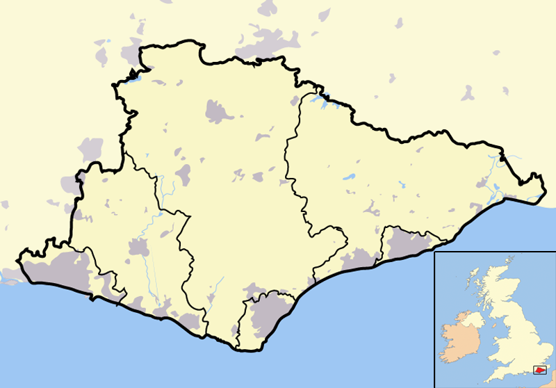
| Description | Map of the county of East Sussex, England, United Kingdom. In the bottom-left hand corner of the image is a mini-map of the British Isles showing the location and relative size of East Sussex in red. On the main map, urban areas are in grey while rural areas are in yellow; the blue lines are rivers. |
| Date | |
| Source | Completely self-made, but boundaries and features can be verified via a variety of sources including (but not exclusive to) the Fifth periodical report - Volume 3 Mapping for the London Boroughs and the Metropolitan Counties by the Boundary Commission for England. |
| Author | Jhamez84 |
Licensing
| I, the copyright holder of this work, release this work into the public domain. This applies worldwide. In some countries this may not be legally possible; if so: I grant anyone the right to use this work for any purpose, without any conditions, unless such conditions are required by law. |
File history
Click on a date/time to view the file as it appeared at that time.
| Date/Time | Thumbnail | Dimensions | User | Comment | |
|---|---|---|---|---|---|
| current | 17:26, 15 December 2007 |  | 800 × 558 (170 KB) | Jza84 | lightening non-county territory |
| 17:10, 15 December 2007 |  | 800 × 558 (171 KB) | Jza84 | {{Information |Description=Map of the county of East Sussex, England, United Kingdom |Source=self-made |Date=December 2007 |Author= Jhamez84 |Permission=See below |other_versions=None }} |
File usage
The following pages on the English Wikipedia use this file (pages on other projects are not listed):
Global file usage
The following other wikis use this file:
- Usage on ar.wikipedia.org
- Usage on ca.wikipedia.org
- Usage on ceb.wikipedia.org
- Usage on eo.wikipedia.org
- Usage on ml.wikipedia.org
- Usage on pt.wikipedia.org
- Usage on qu.wikipedia.org
- Usage on ro.wikipedia.org
- Usage on sv.wikipedia.org
- Usage on tr.wikipedia.org
- Usage on uk.wikipedia.org
- Usage on vi.wikipedia.org
- Usage on vo.wikipedia.org
- Usage on www.wikidata.org