
File:Content Одеська область.jpg
Size of this preview: 438 × 600 pixels. Other resolutions: 175 × 240 pixels | 350 × 480 pixels | 561 × 768 pixels | 1,085 × 1,486 pixels.
Original file (1,085 × 1,486 pixels, file size: 310 KB, MIME type: image/jpeg)
| This is a file from the Wikimedia Commons. Information from its description page there is shown below. Commons is a freely licensed media file repository. You can help. |
Summary
| Description |
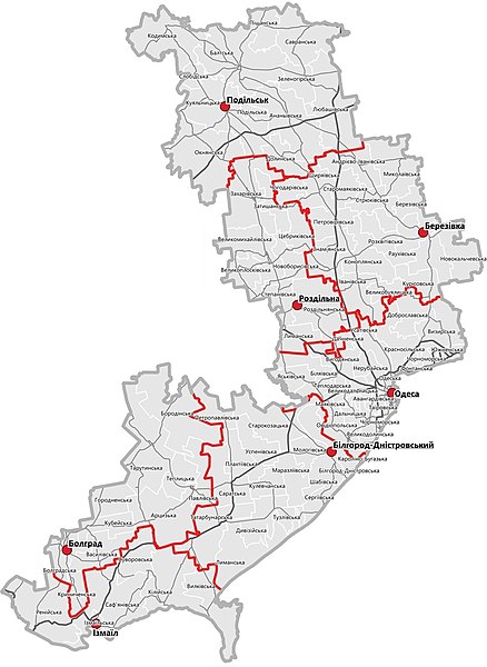
Русский: Карта адміністративно-територіального поділу Одеської області 2020 |
| Date | |
| Source | https://www.minregion.gov.ua/press/news/novi-rajony-karty-sklad/ |
| Author | Міністерство розвитку громад та територій України |
Licensing
This file comes from the website of the Ministry of Communities and Territories Development of Ukraine and is licensed under the Creative Commons Attribution 4.0 International license.
|
This file is licensed under the Creative Commons Attribution 4.0 International license.
Attribution: Міністерство розвитку громад та територій України
- You are free:
- to share – to copy, distribute and transmit the work
- to remix – to adapt the work
- Under the following conditions:
- attribution – You must give appropriate credit, provide a link to the license, and indicate if changes were made. You may do so in any reasonable manner, but not in any way that suggests the licensor endorses you or your use.
File history
Click on a date/time to view the file as it appeared at that time.
| Date/Time | Thumbnail | Dimensions | User | Comment | |
|---|---|---|---|---|---|
| current | 22:59, 18 July 2020 |  | 1,085 × 1,486 (310 KB) | Arbornaos | Uploaded a work by Міністерство розвитку громад та територій України from https://www.minregion.gov.ua/press/news/novi-rajony-karty-sklad/ with UploadWizard |
File usage
The following pages on the English Wikipedia use this file (pages on other projects are not listed):
Global file usage
The following other wikis use this file:
- Usage on incubator.wikimedia.org
- Usage on mdf.wikipedia.org
- Usage on sq.wikipedia.org
- Usage on uk.wikipedia.org
- Usage on zh.wikipedia.org