
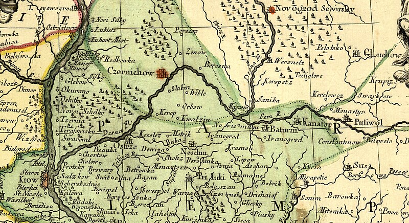
File:1769 map of Poland and Russia in Europe (Facius) 1.jpg
Size of this preview: 800 × 436 pixels. Other resolutions: 320 × 175 pixels | 640 × 349 pixels | 1,024 × 559 pixels | 1,280 × 698 pixels | 3,184 × 1,737 pixels.
Original file (3,184 × 1,737 pixels, file size: 1.57 MB, MIME type: image/jpeg)
| This is a file from the Wikimedia Commons. Information from its description page there is shown below. Commons is a freely licensed media file repository. You can help. |
Summary
| Description |
English: 1769 map of Poland and Russia in Europe (Facius) 1 |
||||
| Date | |||||
| Source | Cropped version of 1769 map of Poland and Russia in Europe by Johann Gottlieb Facius.jpg | ||||
| Author | Johann Gottlieb Facius | ||||
| Permission (Reusing this file) |
|
||||
File history
Click on a date/time to view the file as it appeared at that time.
| Date/Time | Thumbnail | Dimensions | User | Comment | |
|---|---|---|---|---|---|
| current | 12:05, 12 October 2023 |  | 3,184 × 1,737 (1.57 MB) | Amitchell125 | Uploaded a work by Johann Gottlieb Facius from Cropped version of https://commons.wikimedia.org/wiki/File:1769_map_of_Poland_and_Russia_in_Europe_by_Johann_Gottlieb_Facius.jpg with UploadWizard |
File usage
The following pages on the English Wikipedia use this file (pages on other projects are not listed):
Global file usage
The following other wikis use this file:
- Usage on es.wikipedia.org
- Usage on tl.wikipedia.org