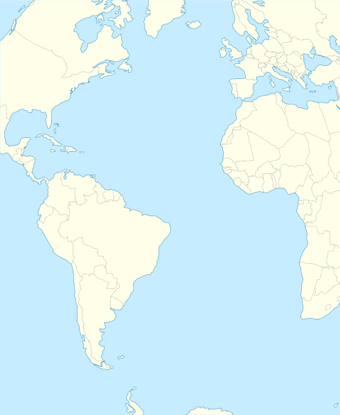
File:Atlantic Ocean laea location map.svg
Appearance

Size of this PNG preview of this SVG file: 491 × 599 pixels. Other resolutions: 197 × 240 pixels | 393 × 480 pixels | 629 × 768 pixels | 839 × 1,024 pixels | 1,679 × 2,048 pixels | 709 × 865 pixels.
Original file (SVG file, nominally 709 × 865 pixels, file size: 274 KB)
File history
Click on a date/time to view the file as it appeared at that time.
| Date/Time | Thumbnail | Dimensions | User | Comment | |
|---|---|---|---|---|---|
| current | 21:19, 31 January 2012 |  | 709 × 865 (274 KB) | Tentotwo | Corrected colour of black sea |
| 21:17, 31 January 2012 |  | 709 × 865 (298 KB) | Tentotwo | Included border of South Sudan | |
| 13:38, 31 January 2012 |  | 709 × 865 (248 KB) | Tentotwo | Removed grid line | |
| 13:36, 31 January 2012 |  | 709 × 865 (239 KB) | Tentotwo |
File usage
The following 38 pages use this file:
- 2017 Basketball Champions League Final Four
- Abrolhos Archipelago
- Annobón
- Bird Island, South Georgia
- Bugio Island
- Caryn Seamount
- Cheeki Rafiki
- Deserta Grande Island
- Desertas Islands
- Dom João de Castro Bank
- Eltanin impact
- Frankfurt Seamount
- HX convoys
- Hibernia oil field
- Ilhabela
- Ilhéu Chão
- Middle Island, Tristan da Cunha
- Muir Seamount
- Newfoundland Seamounts
- Nightingale Islands
- Pilancones
- Puerto de las Nieves
- RAF Ascension Island
- Roca Islands
- Roncador Bank
- Saxemberg Island
- Sedlo Seamount
- South Shetland Trough
- St. Matthew Island (phantom island)
- Stoltenhoff Island
- Terra Nova oil field
- Thompson Island (South Atlantic)
- Vila Baleira
- Weddell Island
- Zavodovski Island
- Draft:2025 Porsche Cup Brasil
- Module:Location map/data/Atlantic Ocean
- Module:Location map/data/Atlantic Ocean/doc
Global file usage
The following other wikis use this file:
- Usage on af.wikipedia.org
- Usage on als.wikipedia.org
- Usage on ar.wikipedia.org
- Usage on ast.wikipedia.org
- Usage on azb.wikipedia.org
- Usage on be-tarask.wikipedia.org
- Usage on be.wikipedia.org
- Usage on ceb.wikipedia.org
- Plantilya:Location map Atlantic Ocean
- South Point
- Scotts Hill
- Saddle Hill
- The Ridge
- Pillar Rock
- James Bay
- Castle Hill
- Bird Island
- North Point
- West Point
- Sandy Point
- Black Point
- Powell Point
- Black Rock
- Egg Island
- East Point
- White Rock
- White Point
- Whale Point
- Long Point
- The Bluff
- Middle Point
- Crown Point
- Channel Rock
- Cave Point
- Blue Hill
- South West Point
- White Bluff
- Sandy Bay
- George Island
- South West Bay
View more global usage of this file.
